Northern Tier Day #43 Wolf Point, MT to Hinsdale, MT
Northern Tier Day #43
July 2, 2019
Wolf Point, MT to Hinsdale, MT 81 Miles
Ride Time 6:43
Tour Total 3408 Miles
I got back to the hotel last evening right before the big storm hit. I had dinner in the hotel restaurant right by the window and watched as it ripped loose outside. It must have poured an inch. The streets turned into rivers. I made all of the right decisions yesterday and timed it out perfectly. Knock on wood. It’s like threading a needle.
It cleared up by the time I was done eating. I walked to Stockman’s bar where I had a beer from the Broken Knuckle Brewery in Glasgow. I passed a sign saying that Wolf Point is the home of former Montana Democrat Governor Ted Schwinden. They had been selling tickets for the Wild Horse Stampede Rodeo, which I regret I'll be missing.
On my walk back to the hotel I was followed by a tall spooky-looking guy carrying a long pole and a kerosene lantern. I had seen him earlier at the Missouri Breaks Brewery, and he’s obviously a whacky town character. He made me nervous and I briskly walked back to the hotel. I got to bed early in my comfy warm bed, and slept so well. I’m in sync with the sun and therefore woke up at 4:58am. I rolled over and got 90 more minutes of sleep.
I went to the Exxon Town Pump for breakfast, and had an egg sausage croissant sandwich, a Starbucks Frappuccino, and an orange juice. Two dogs tried to beg from me. I thought they were strays, but one had a tag. They belonged to a friendly Native American, whom I talked to. I saw a police officer and asked him about the construction on Highway 1. He told me to take Highway 2 to Oswego and then cut over to my route on Highway 1.
It was 54°F and cold out. I passed an RV camp and saw a tent surrounded by puddles. I made the right call to stay at a hotel last night. In addition to my cycling shorts and jersey, I was wearing my leg-warmers, sweater, and rain jacket as a shell.
Locals from Montana call US Highway 2 the Hi Line, and I’ll be on it for the several days. Today I was headed northwest and then west. The wind this morning was out of the north and I had a crosswind. Later in the day it was forecast to be a headwind. I was concerned about the wind because I had a lot of miles to cover. The shoulder on highway 2 was better than I had expected. I had 2 feet to the right of the rumble strip before the slant. There was less traffic than I had anticipated.
It was overcast and the sky was covered by a blanket of thick gray clouds. I was surrounded by grass, with a pair of high power lines to the north, and a freight train line to the south. It was rolling flat with lots of grass.
The shoulder got nice and wide after I crossed the Valley County line. At Oswego I cut down to Highway 1, also known as the Old Indian Highway. This is where they were resurfacing the road. I could see the gravel trucks and workers, and I talked to one of them and asked about the conditions to the west. He reported that there were stretches of loose gravel. F that. I turned around and returned to Highway 2. The traffic wasn’t so bad.
I was paralleling the Milk River to the south. I could see on my map how ridiculously twisted it was. I couldn’t help but think about Lewis and Clark trying to navigate their skiff. On a good day they would travel 14 miles.
I could see the lollipop water tower in Frazer from a couple miles out. I saw a sign that informed me about the summer of 1837 and the American Fur Trading Company steamboat that came through here. Smallpox had broken out among the crew, but the boat continued to its destination. The Native American Wichiyabina tribe was exposed and lost 94% of their population.
I was on the Lewis and Clark Trail and the Old West Trail, and was pedaling 11 miles an hour. Another mile-long eastbound freight train passed me to the south. It was far enough away that I could see it in it’s entirety, engine to caboose. I’ve been following a long ridge to the south that ostensibly borders the Milk River. There was nothing to the north or ahead to the west.
Eventually the route joined back up with me on highway 2. At this point there were soft mound-like ridges to the north. I was surrounded by grass, sage brush, and wildflowers. There were barbwire fences to either side of the road and the train tracks were to the left.
I ran into east-bounders Brad and Bill from Utah. They were doing the Northern Tier with the Great Lakes Connector. They both had lime green pool noodles extending out into the motorist lane. They told me the mosquitoes were really bad after Glasgow, and mentioned the Sleeping Buffalo Hot Springs 15 miles west of Saco.
There was an invasive species checkpoint at the road leading into Nashua. I asked where I could get food, and they pointed into town. I went to B&B Foods, Liquor, and Video, where I purchased a Snapple Iced Tea and a bag of trail mix.
Back on highway 2 the sun made its way though the cloud cover. There was a large weather system to the south. I’d really hate to get stuck in one of those rainstorms. Last night’s storm was intense. There were still huge puddles this morning, lasting well into the day. Glasgow has a large water tower that I could see from 3 miles out. At the intersection of State Highway 24 there was a sign with an arrow pointing north reading Canada.
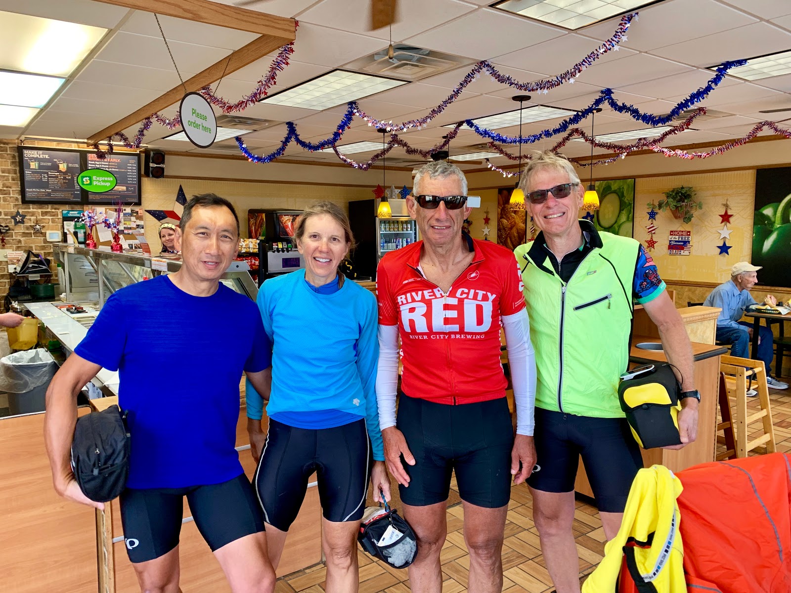
I stopped at Subway and ordered a tuna fish foot-long sandwich with chips and lemonade. I was sitting there eating my sandwich, and noticed a touring cyclist ride in, followed by another, a third and then a fourth. Henry, Linda, Jeff, and Tim hail from Spokane, WA and were doing a modified Northern Tier, starting from Washington DC and going to Anacortes Washington. They were at the hostel in Grackle a day after me, and were in Wolf Point last night and also dodged the rainstorm. They want to be in Havre on July 4 and are also planning to arrive in Anacortes on the 20th. Their blog can be seen here: https://transbike2019.blogspot.com/ Linda mentioned that she had heard the Trans Am was having brutal hot and rainy weather this year. They were spending the night in Glasgow.
I visited the Pioneer Museum on the way out of town. After Glasgow, Highway 2 also became known as the 163rd Infantry Regiment Highway. On the way to Hinsdale there was nothing but grassland. Back before the European invasion, thousands of bison roamed these plains. A small prop plane flew overhead. I knew they could see me and I thought about my flight with Roger last year in Berea KY. I didn’t want to jinx myself, but the mosquitoes hadn’t been as bad as people have said. Maybe it’s the cool temperature or the breeze. The wind had not been that bad today.
I passed a group of 4 eastbound cyclists. Keanna, Justin, Yoga, and Liz were doing a modified Northern Tier from Anacortes to Connecticut. They were raising money for The Hole in the Wall Gang Camp, and all go to school at the University of Connecticut School of Medicine. We had to keep it short because the mosquitoes were insane. Check out their blog and please donate at:
http://getinvolved.holeinthewallgang.org/site/TR/HWCGGlobal/General?team_id=3612&pg=team&fr_id=1472
There was a big scary system to the south. I stopped at a rest area and used the bathroom and looked at the maps. The storm looked like it was getting closer and I thought about staying put at the rest area, but decided to push on. I got a few drops and thought about putting on my rain pants and held off. Trucks carrying carnival equipment have been passing me heading west all day long. I hope they’re going to Havre for the fourth!
It finally started to rain and I put on my rain pants and shoe covers. I also turned on my lights. I don’t mind the rain as long, as I don’t get cold. It’s better than a headwind. The rain settled, and about 3 miles east of Hinsdale my legs were getting hot. I pulled over and removed my rain pants and shoe covers. The mosquitoes were bad.
I crossed over the Milk River which looked more like chocolate milk. It was a wide crossing, and was the twisty river that I’d been paralleling. Lewis and Clark split into groups to explore the Yellowstone, Missouri, and Milk. None of those routes were direct.
There was a patch of blue sky to the west, and I was thinking that I might get lucky with the camping situation tonight. They were getting ready for a rodeo on the east side of town as I was coming into Hinsdale. How I would love to go to a rodeo! I rode down to the Milk River Park on the bank of the river. The mosquitoes were out and I used my spray. I set up my tent under a pavilion and strung an extension cord into my tent.
I rode over to Stoughie’s Bar & Grill and ordered a cheeseburger with fries and several Sam Adams. Kelsey the bartender was awesome. Townsfolk were busy preparing for an epic July 4th celebration.


Comments
Post a Comment